Building the Salem Witchcraft GIS
Appendix B
Sources of Base Geographic Data for Salem
To obtain accurate geographic coordinates for existing sites, we obtained a wealth of base data from the Massachusetts Geographic Information System (MassGIS) data clearinghouse <http://www.magnet.state.ma.us/mgis>, and the U.S. Geological Survey <http://mapping.usgs.gov>.
MassGIS offers free aerial photography and digital map products through their data archive, which we obtained for local use. Data obtained from Massachusetts GIS included:
 |
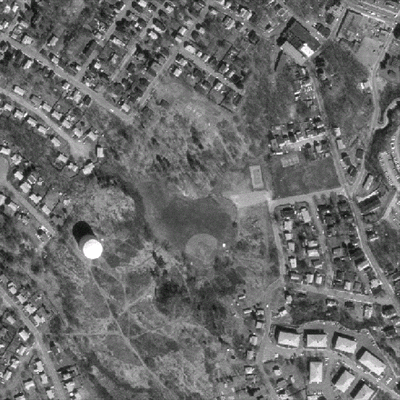
Left: Detail from 1-Meter Resolution Digital Orthophoto Quadrangles. The area depicted is "Gallow's Hill," thought to be the site where those convicted of withcraft were executed. |
 |
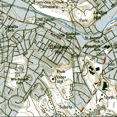
Left: Detail from a 1:25000 scale topographic map of Salem produced by the US Geological Survey. The area depicted is roughly the same as the photograph above. |
The U.S. Geological Survey's Geographic Names Information System is the official record of United States place names for the federal government, including cultural and physical features, as well as geographic coordinates for these features (http://mapping.usgs.gov/gnis). A CD-ROM version, on deposit at the Geostat Center in the University of Virginia Library, was used to extract our data.
 |
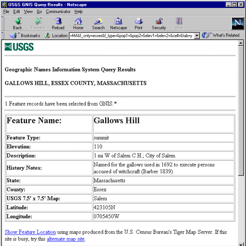
Left: Results of a search of the Geographic Names Information System, a database of cultural and physical features published by the U.S. Geological Survey. The results show latitude and longitude coordinates for the hill depicted in the images above. |
The U.S. Census Bureau's TIGER/Line database is the source for most of the commercial and non-commercial political and street data nationwide. This data is deposited with the Geostat Center in the University of Virginia, which processed the data for Essex County, Massachusetts to produce a coverage of roads. This road data would be used to address match the existing known sites.
 |
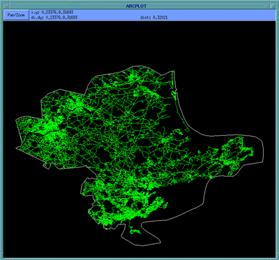
Left: The street network of Essex County, Massachusetts, derived from the 1997 TIGER/Line Extract database published by the U.S. Census Bureau. The data was processed for use within ArcInfo. The area depicted on Upham's map falls roughly within the center of the image. |
© Copyright 1999 The Rector and Visitors
of the University of Virginia
ArcInfo is a trademark of the ESRI
Corporation; Access is a trademark of Microsoft Corporation