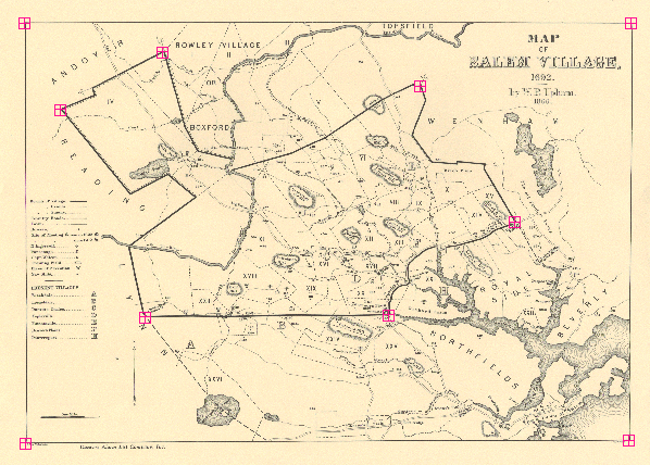
Building the Salem Witchcraft GIS
Digitizing the Upham Map
D. Test Digitization
We decided to scan the map at a high resolution and digitize the data from the image. Digitizing from paper sources is potentially more time-consuming and more prone to error because of human fatigue.
Locate Temporary TICS on Upham's Map
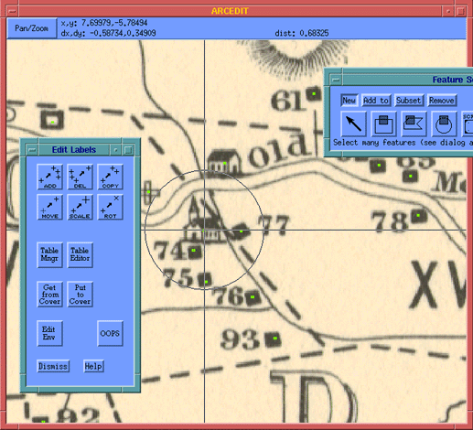
Once the map was scanned, we began by developing a set of temporary tics to anchor future work on the non-referenced data. We chose these tics based on their visibility on the map. When precise points were identified, they would be matched to existing points on Upham's map.
Digitizing Points
Once the tics were digitized, we proceeded to trace the points, one-by-one. Upham used a mix of Arabic numerals, alphabetical characters, and other glyphs to represent the dwellings and landmarks on his map. To track these point features and link them to other information in our developing database, we assigned our own internal key number to each point: we followed Upham's numeric system at first, then continued sequentially through the non-alphabetical characters, then the alphabetical characters. This process produced 182 points.
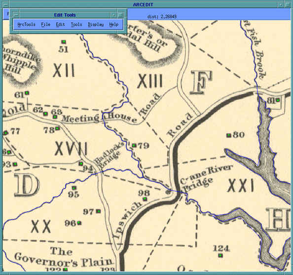
Digitizing Other Features
We also digitized major roads, streams and the boundary of Salem Village. Because the location and shape of even natural features can change over the course of 300 years, line features such as streams or roads will not be used to help located contemporary real world sites. Instead, these features are less important for the data they convey than for the visual reference they provide on Upham's map.
© Copyright 1999 The Rector and Visitors
of the University of Virginia
ArcInfo is a trademark of the ESRI
Corporation; Access is a trademark of Microsoft Corporation